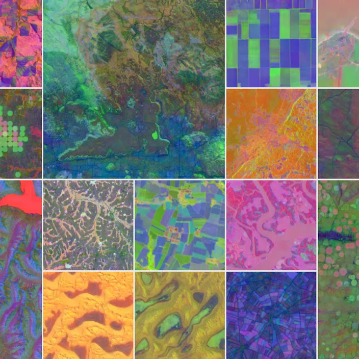
ForTy 2020 splits forest into six land-use types
The map splits tree cover into six categories.
| ForTy 2020 | |
|---|---|
| resolution | 10-meter resolution |
| patch size | 10-by-10-meter patch |
| categories | six distinct forest and land-use types |
| time series | 2017 to 2025 |
| baseline year | 2020 |
| release date | October 22, 2026 |
The map splits tree cover into six categories. Each 10-meter patch gets one label, from primary forest to plantation forest to tree crops and other land.
That split matters for the EU deforestation rule. The rule cares about conversion, so a regulator can tell whether a patch was primary, regenerating, planted, or plantation before it became farm or other land.
The accompanying series tracks annual changes from 2017 to 2025. It marks where natural forests gave way to plantations or farms.
Resolution was already available in the earlier Natural Forests of the World 2020 map. The new value is the category split, not the finer detail.
The page does not state error rates, ground-truth coverage, or mixed-pixel handling. Per-patch accuracy is therefore not proven.
Carbon and biodiversity are mentioned as different across forest types. No per-patch carbon figures, species counts, or biodiversity scores are given.
The update path is open. It is not stated whether the 2017 to 2025 series is final, how much of the map comes from satellite imagery versus model inference, or the audit status of each label.
No validation set is named.
The document shows a typology exists, not that each 10-meter label is correct.
After deepmind.google. We did not report this. The pictures, if any, are theirs.